Modern agriculture demands precision, efficiency, and data-driven decisions. Integrating advanced technology is no longer an option but a necessity for staying competitive and sustainable. At MorLo Aerial Operations, we provide state-of-the-art
Four Ways Drone Mapping Revolutionizes Crop Management

Pinpoint Crop Stress with Precision
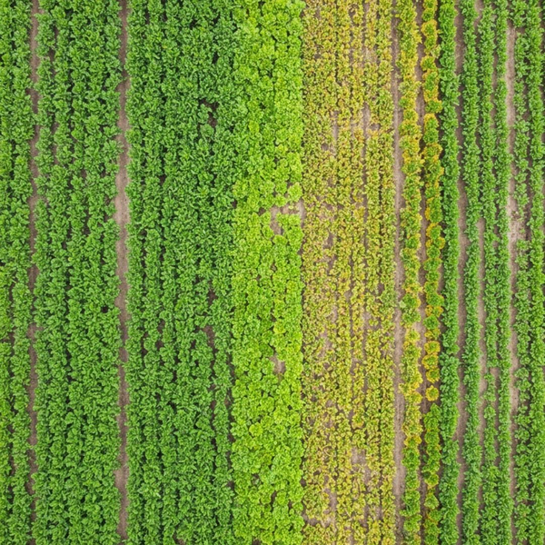
Using advanced multispectral sensors, an aerial land survey drone can identify crop stress long before it’s visible to the naked eye. This technology captures data beyond the visible spectrum, revealing subtle variations in plant health caused by pests, disease, or nutrient deficiencies. Early detection allows for targeted interventions, preventing small problems from impacting your entire yield.

Optimize Water and Fertilizer Use
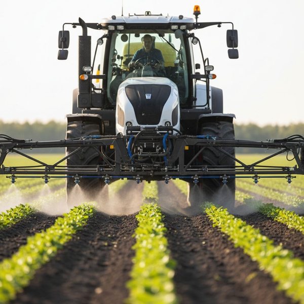
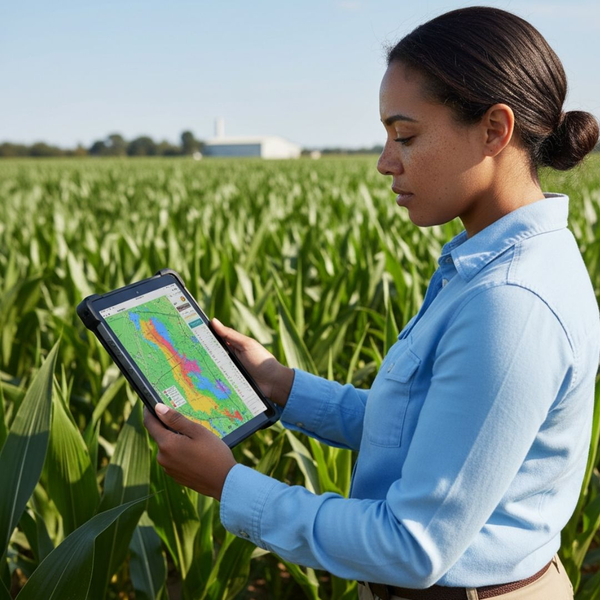
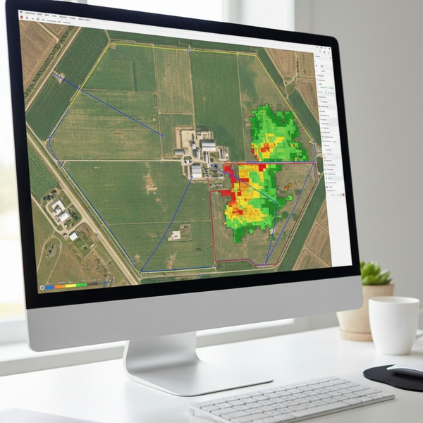
Uniformly applying resources across a variable field is inefficient and costly. Drone mapping creates detailed field variability maps, showing exactly which areas require more or less water and fertilizer. This data enables precision application, conserving resources, reducing environmental runoff, and ultimately lowering your operational costs while promoting healthier, more consistent crop growth.

Accurately Assess Crop Yields
Predicting harvest outcomes is crucial for planning logistics, storage, and sales. Drone-based analytics can count plants and assess biomass to generate highly accurate yield estimations throughout the growing season. This foresight provides a significant advantage, allowing you to make more informed marketing decisions and secure better contracts well before the harvest begins.

Improve Field Scouting Efficiency
Manually scouting large fields is a time-consuming and often incomplete process. Drones can survey hundreds of acres in a single flight, producing high-resolution orthomosaic maps that guide you directly to potential problem areas. This streamlines the scouting process, ensuring your time on the ground is spent addressing issues rather than searching for them.
Embracing drone mapping technology is a strategic investment in the future of your farm. From early problem detection to resource optimization and accurate yield forecasting, the benefits are clear. Ready to see your fields with unparalleled clarity and make smarter management decisions?
