
Blog
Recent Updates

What is Reality Capture? Exploring Its Impact
At MorLo Aerial Imaging, we believe the bridge between the physical and digital worlds is built through precision. Reality capture is the revolutionary process of digitizing environments into accurate 3D models. By leveraging advanced sensors and software, we transform real-world sites into actionable data, empowering your team to make smarter, faster decisions.
more
4 Ways Drone Mapping Enhances Accuracy in Orthomosaics
At MorLo Aerial Imaging, we understand that precision is the foundation of every successful project. Orthomosaic drone mapping stitches thousands of high-resolution images into a single, geometrically corrected map. Unlike standard aerial photography, these maps offer measurable, actionable data. Here are four specific ways our advanced drone technology dramatically enhances accuracy for your site.
more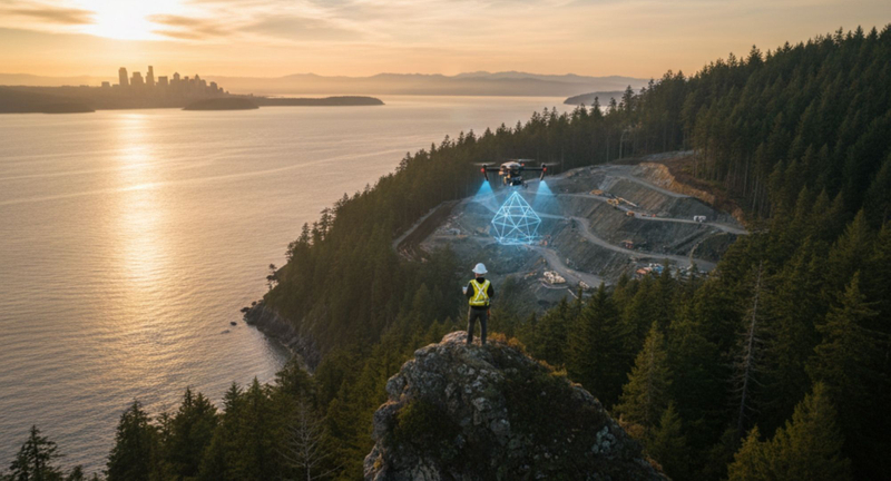
The Hybrid Approach: Why Puget Sound Projects Need Integrated Aerial AND Ground Reality Capture
In the diverse landscapes of the Puget Sound region, precision data is the foundation of successful development. At MorLo Aerial Operations LLC, we have found that relying on a single data collection method often leaves critical gaps. By integrating aerial drone technology with ground-based reality capture, we provide a comprehensive digital twin that ensures accuracy from the treetops to the foundation.
more
Aerial Inspections vs. Ground Inspections: Pros and Cons
In the world of asset management, the method you choose for data collection defines your efficiency. While traditional ground methods have been the standard for decades, the rise of drone technology has disrupted the status quo. This breakdown compares traditional methods with modern solutions to help you decide the best path for your projects.
more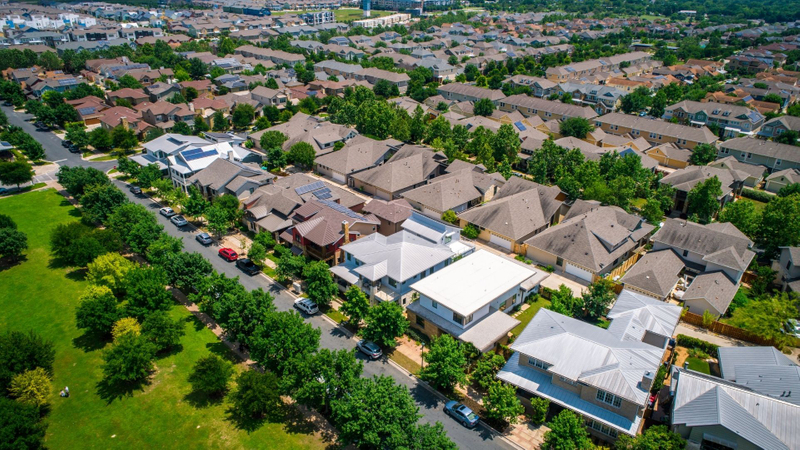
The Detail Advantage: How 3D LiDAR Scanning and Reality Capture Are Revolutionizing the Property Viewing Experience
The real estate landscape is changing, and mere photos and videos no longer suffice. At MorLo Aerial Operations, we understand that true engagement requires precision. We are pioneering the next generation of property viewing with 3D LiDAR scanning and reality capture. This technology moves beyond flat visuals, offering a depth of detail that captivates potential buyers and drastically improves listing quality.
more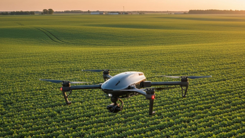
Four Ways Drone Mapping Revolutionizes Crop Management
Modern agriculture demands precision, efficiency, and data-driven decisions. Integrating advanced technology is no longer an option but a necessity for staying competitive and sustainable. At MorLo Aerial Operations, we provide state-of-the-art

Why Your Projects Deserve the Expertise of MorLo Aerial Imaging
At MorLo Aerial Operations, we believe that the success of any project, from construction to real estate, hinges on precise, actionable data. Traditional methods can be time-consuming and costly, but our specialized aerial and ground-based imaging solutions provide a clear advantage. We empower you to make smarter, faster decisions with high-quality, comprehensive reality capture that transforms your workflow.
moreWelcome
Welcome to our site! We are in the process of building our blog page and will have many interesting articles to share in the coming months. Please stay tuned to this page for information to come. And if you have any questions about our business or want to reach out to us, we would love for you to stop by our contact page.
Thank you!
more