
In the diverse landscapes of the Puget Sound region, precision data is the foundation of successful development. At MorLo Aerial Operations LLC, we have found that relying on a single data collection method often leaves critical gaps. By integrating aerial drone technology with ground-based reality capture, we provide a comprehensive digital twin that ensures accuracy from the treetops to the foundation.
The Hybrid Approach: Why Puget Sound Projects Need Integrated Aerial AND Ground Reality Capture
Comprehensive Geometric Coverage
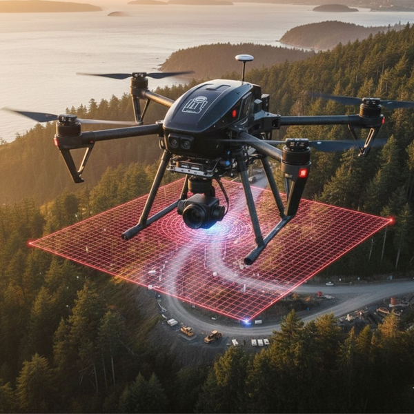
Aerial LIDAR excels at capturing expansive top-down views and dense vegetation canopy. However, ground-based scanners are essential for capturing vertical surfaces, overhangs, and intricate architectural details that drones cannot see. Together, they create a complete 360-degree dataset without "shadows" or missing information.
Enhanced Spatial Accuracy
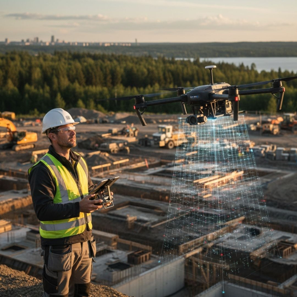
By tying aerial photogrammetry to high-precision ground control points and terrestrial laser scanning, we achieve sub-centimeter accuracy. This dual-layer verification process ensures that the digital model reflects real-world conditions with the rigor required for engineering and heavy construction.
Navigating Regional Complexity
The Pacific Northwest presents unique challenges, from steep coastal bluffs to dense urban corridors. A hybrid approach allows us to deploy the best tool for each specific zone, ensuring safety and compliance while maintaining a continuous workflow across varied terrain types.

Streamlined Stakeholder Collaboration
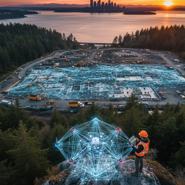
Integrated data provides a single source of truth for architects, engineers, and project managers. Having a unified model reduces rework and communication errors, as every team member accesses the same high-resolution visualization of the project site’s current state.
The synergy of aerial and ground capture is not just an advantage; it is a necessity for the Puget Sound’s complex environments. MorLo Aerial Operations LLC is committed to delivering this integrated excellence. Contact us at https://www.morloaerial.com/ to elevate your next project with total reality capture.