At MorLo Aerial Operations, we believe that the success of any project, from construction to real estate, hinges on precise, actionable data. Traditional methods can be time-consuming and costly, but our specialized aerial and ground-based imaging solutions provide a clear advantage. We empower you to make smarter, faster decisions with high-quality, comprehensive reality capture that transforms your workflow.
Why Your Projects Deserve the Expertise of MorLo Aerial Imaging

Unlocking New Perspectives with Advanced Reality Capture
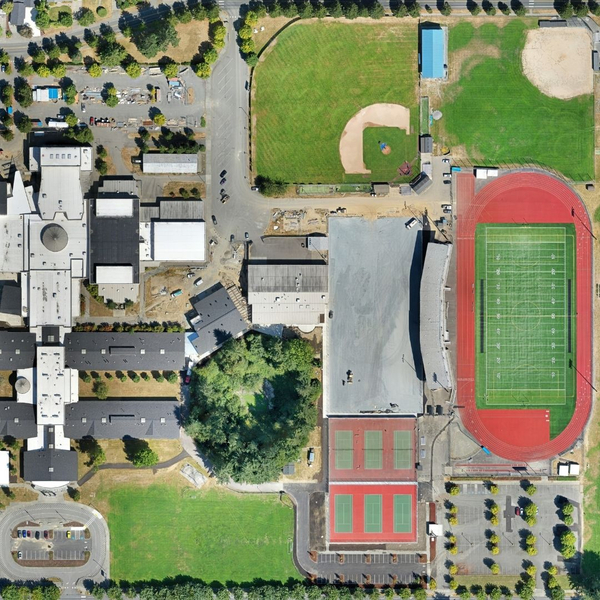
In today’s competitive landscape, having a complete and detailed view of your project site is non-negotiable. MorLo Aerial Operations specializes in advanced reality capture, including photogrammetry and LiDAR scanning. This technology creates stunningly accurate 3D models and orthomosaics, giving you unparalleled insights for planning, monitoring, and analysis. Our comprehensive data collection ensures no detail is overlooked, from the ground up, to provide the best drone photo possible.

Data-Driven Decision Making with Precise Aerial Imagery Maps
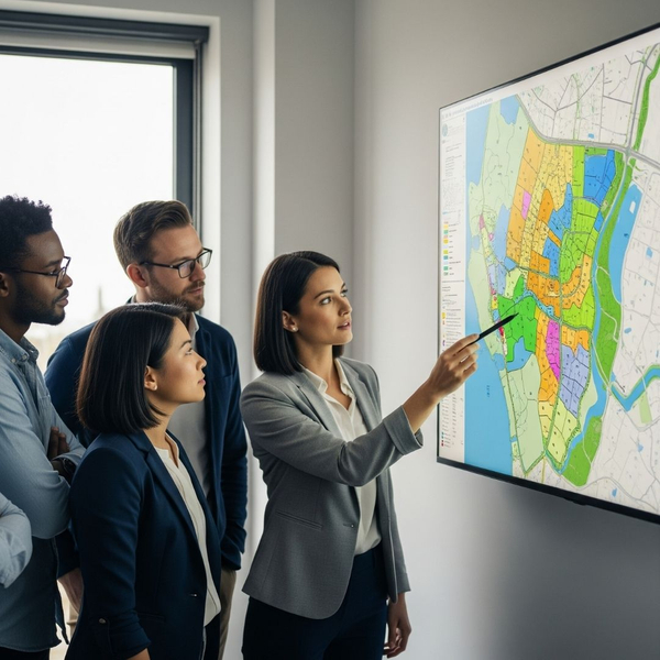
The difference between a good project and a great one often comes down to the quality of your data. We provide more than just images; we deliver actionable intelligence. Our drone mapping and surveying services offer centimeter-level accuracy, providing you with the precise data needed for everything from site planning and asset management to progress tracking. This precision, which is at the core of our aerial imagery maps, enables you to mitigate risks and optimize every stage.

Safety and Efficiency Redefined with Drone Inspections and Aerial Photos
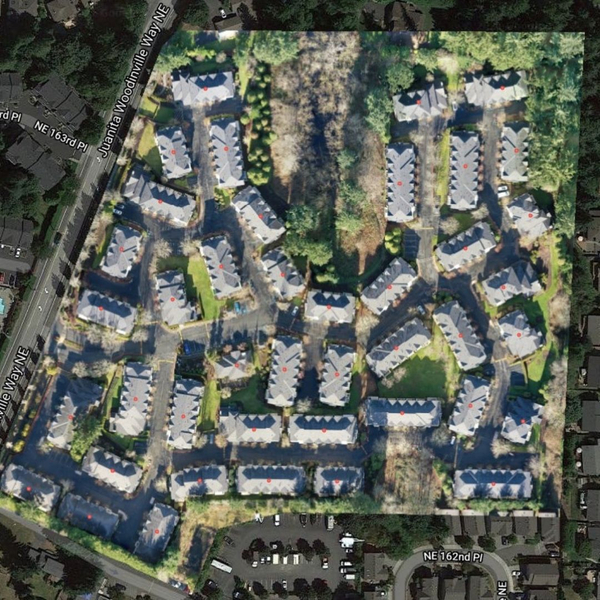
Inspecting hard-to-reach or high-risk assets has traditionally been a dangerous and resource-intensive task. MorLo Aerial Operations redefines this process with our drone inspection services. We can safely and efficiently inspect critical infrastructure like roofs, bridges, and utility lines, eliminating the need for hazardous manual inspections. The resulting high-quality aerial photos not only enhance safety for your team but also significantly reduce project timelines and costs.

Tailored Solutions for Diverse Industry Needs through Aerial Imaging
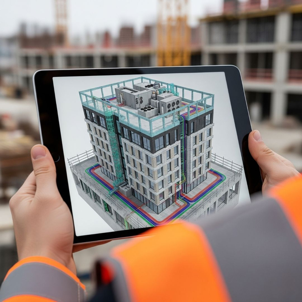
We understand that every industry has unique requirements. MorLo Aerial Operations prides itself on offering tailored solutions that fit your specific project goals. Whether you’re in real estate needing captivating aerial imaging, a government agency requiring detailed mapping, or a construction firm seeking precise digital twins, we customize our approach to deliver exactly what you need. Our versatility is your key to success, built on years of experience.
Ready to see how our expertise can transform your next project? With MorLo Aerial Operations, you gain a partner dedicated to delivering precision, insight, and innovation. We streamline your operations, enhance safety, and provide the critical data you need to succeed. Visit our website to explore our services and get a personalized quote today to start your journey with us.
